Fin : 13 octobre 2026 à 18:00
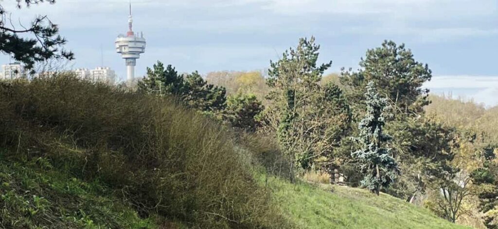
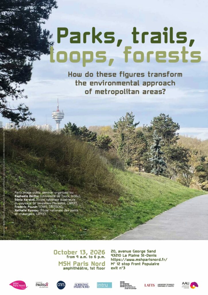
Parks, trails, loops, forests: How do these figures transform the environmental approach of metropolitan areas?
Ce séminaire de recherche international se tiendra le 13 octobre 2026 à la Maison des Sciences Humaines et sociales Paris-Nord, à l’initiative de Raphaële Bertho (Université de Tours, InTRu), Sonia Keravel (École nationale supérieure du paysage de Versailles-Marseille, LAREP), Frédéric Pousin (CNRS, CRESSON), Nathalie Roseau (École nationale des ponts et chaussées, LATTS). Il s’inscrit dans le projet de recherche Par(c)Image. Déployer l’idée du parc métropolitain.
Retrouvez le programme de la journée d’études
The concept of nature is inextricably linked to that of the city, with visits to “natural” living spaces serving as a counterpoint to the artificialization of urban spaces. This “city-nature” pairing is itself changing, depending on the configurations and representations of inhabited territories. Green loop, metropolitan trail, greenway, linear park, urban forest: in addition to reflecting a desire for nature, these terms refer to indeterminate entities that develop through fragments, infiltrations, interstices, and hybridizations. The co-evolving functions they embody sketch out a large-scale dialectic that is both rooted in localized situations and embedded in regional and metropolitan interdependencies. The aim is to integrate living organisms into urban dynamics (ecology of green networks), to structure regional planning (park systems), to connect agriculture to the city (urban farms), to promote walking (hiking trails), and to create vantage points (panoramas, viewpoints). This profusion of emerging figures invites us to revisit their genealogies and representations — photography and cartography in particular. What are the antecedents of these figures, forms, and practices? How do they engage with the political and vernacular structures of the large city in transformation? How do they redefine the porosity between the urban and the non-urban? What shift in urban and landscape paradigms — in planning and design — appears in the contemporary era, driven by the need for cities to adapt to the “new climate regime”? How can research engage with this, at the intersection of knowledge and practice?
This international and interdisciplinary study day is part of the Par(c)Image research project (“Deploying the idea of the metropolitan park. A visual history in the service of territorial transformation”), supported by the Maison des Sciences de l’Homme Paris-Nord (2026–2027), in collaboration with the Inventing Grand Paris: Entangled history of metropolitan areas program. At the intersection of urban, landscape and visual history, this program focuses on the representations of the eastern Greater Paris region and its Grand Chemin project — a 55-kilometer green loop currently in the planning and construction stages that builds upon existing infrastructure, incorporating continuities, crossings, parks, and gardens. Rooted in the environmental and urban challenges of the Anthropocene, this program explores a reverse chronology of the soils, uses, projects, and morphologies that have shaped this territory from Paris to Romainville, prioritizing a visual approach — and more specifically, photography.